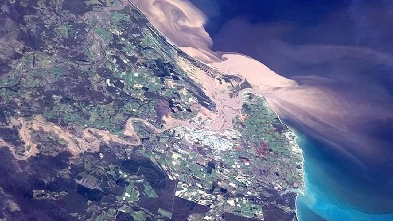
Out-of-this-world techniques are being used to help protect one of the world's greatest natural wonders.
Researchers at James Cook University in north Queensland are using images from NASA satellites to study the impact of polluted land run-off on the Great Barrier Reef.
The researchers say river flood plumes from heavy rain or cyclones push polluted water, containing pesticides and fertilisers, into the reef.
Dr Caroline Petus, from the university's TropWATER program, says the publicly available images can be effectively used to map the extent, nutrient content and muddiness of flood plumes.
It replaces the need for costly and labor-intensive methods like using submerged data loggers or boats and helicopters to gather water samples, she said.
News that makes sense
Your trusted source for staying up-to-date with the world around you. Get free daily news updates and analysis, straight to your inbox.
The images will be used develop river plume maps for the reef's seagrass and coral ecosystems, which are in decline.
"These maps will help our understanding of the resilience of these ecosystems to water quality changes," Dr Petus said.
"In the near future they should help us predict ecosystems' health changes associated with human activities or climate change."
Seagrass expert Dr Michael Rasheed said the new information would help researchers better understand flood plume impacts, leading to better management of the reef.
"It is often difficult to determine whether declines in seagrass beds are due to polluted river run-off or coastal development such as dredging around a port," he said.







