


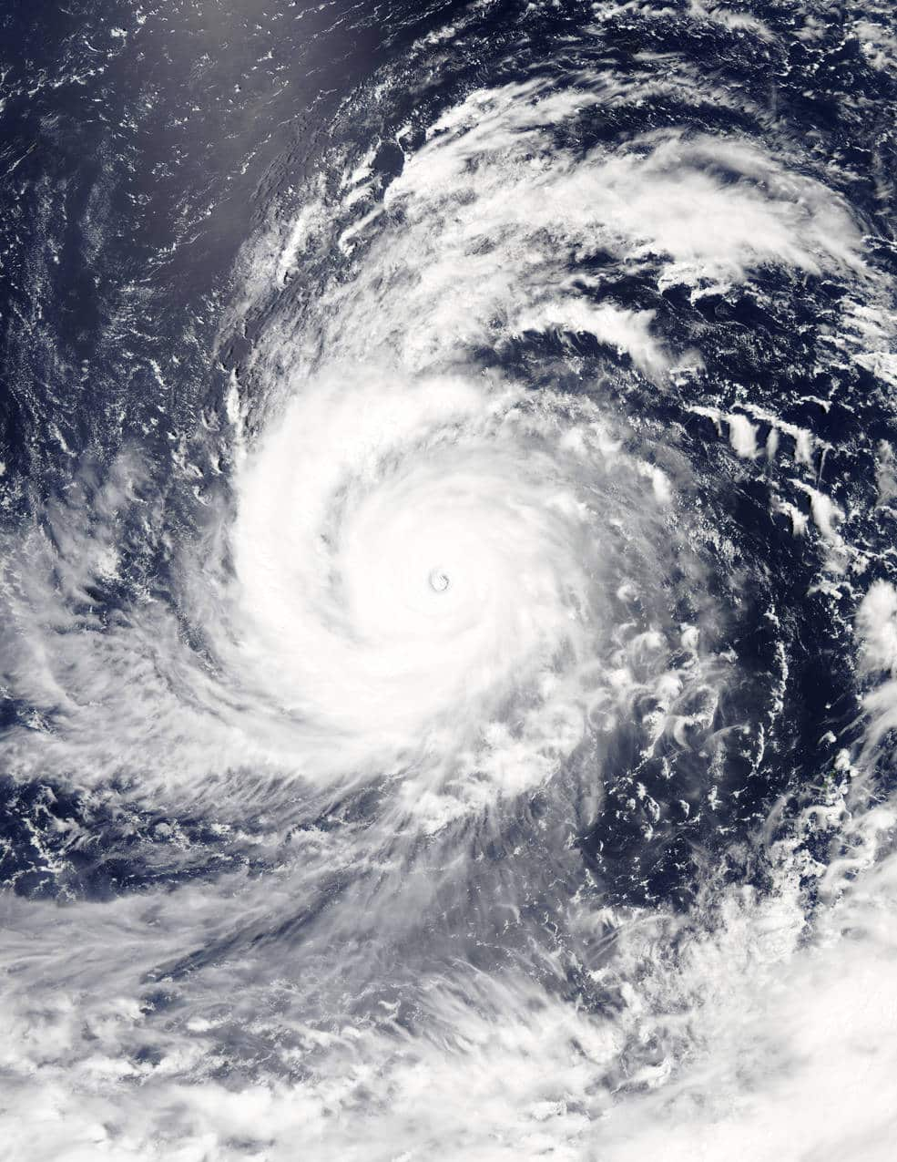
Typhoon Soudelor has been described as the most powerful storm so far this year and was dubbed a Super Storm with Category 5 winds on Tuesday, but was later downgraded to a Category 4.
According to US space agency NASA, the typhoon is located over the North West Pacific Ocean and is generating extremely rough seas, with waves almost 15-metres high.
The super-typhoon has already passed the Mariana Islands, with winds reaching 250km per hour and is headed for Japan's southern Ryukyu Islands and Taiwan, where it's expected to make landfall Thursday evening or Friday morning, with impacts felt into eastern China early next week.
News that makes sense
Your trusted source for staying up-to-date with the world around you. Get free daily news updates and analysis, straight to your inbox.
A state of emergency was declared in the Northern Marianas after Super Typhoon Soudelor slammed into the island group with winds up to 193km per hour early on Wednesday.
Acting governor Ralph Torres declared a "state of major disaster and significant emergency for the whole commonwealth in the wake of the devastation caused by Typhoon Soudelor," AFP reported.
NASA warned anyone in the path of Soudelor should prepare for “storm surge, heavy rainfall, mudslides in high terrain areas, and typhoon-force winds.”
