How viewing Earth from space can better predict droughts and fires
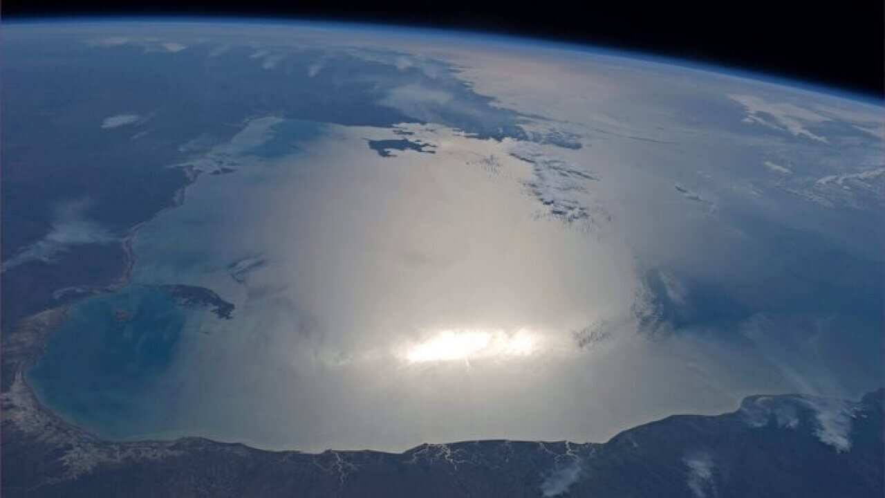
Australia's coast as seen by European Space Agency Source: ESA
Drought and bushfire risk could soon be predicted months in advance, thanks to emerging research using satellite technologies. Scientists have been measuring groundwater and soil moisture using data from satellites orbiting the Earth.
Share