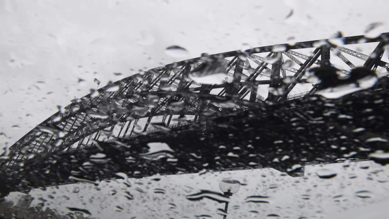
Thunderstorms are developing ahead of a cold front moving through Victoria. Severe thunderstorms are likely to produce damaging winds and heavy rainfall that may lead to flash flooding in the warning area over the next several hours. Locations which may be affected include Shepparton, Wodonga, Wangaratta, Traralgon, Sale and Bairnsdale.
Heavy rainfall which may lead to Fflash flooding is expected to develop across the warning area during the late afternoon then continue into the evening. Rainfall totals of 50-80mm are likely across the warning area from 11am until midnight, with most of this rain to fall in a 4 hour period as the front crosses the area later today. A flood watch is current for parts of central and eastern Victoria.
Damaging, averaging 60 to 70 km/h with peak gusts of around 100 km/h, are expected across elevated areas (above 1200 metres) of northeastern Victoria before easing later tonight. Locations which may be affected include Corryong, Bright, Mansfield, Falls Creek, Mt Hotham and Mt Buller.
The State Emergency Service advises that people should:
* Be aware that trees that have been damaged by heat or fire may be unstable and more likely to fall when it is windy or wet.
* Be aware that in fire affected areas, rainfall run-off into waterways may contain debris such as ash, soil, trees and rocks.
* Be alert that in areas recently affected by fires, heavy rainfall increases the potential for landslides and debris across roads.
* Check that loose items such as outdoor settings, umbrellas and trampolines are safely secured and move vehicles under cover or away from trees.
* Stay indoors and away from windows.
* If outdoors, move to a safe place indoors. Stay away from trees, drains, gutters, creeks and waterways.
* If driving conditions are dangerous, safely pull over away from trees, drains, low-lying areas and floodwater. Avoid travel if possible.
* Stay safe by avoiding dangerous hazards, such as floodwater, mud, debris, damaged roads and fallen trees.
* Stay away from fallen powerlines always assume they are live.
* Stay informed monitor weather warnings, forecasts and river levels at the Bureau of Meteorology website, and warnings through VicEmergency.
ΔΙΑΒΑΣΤΕ ΚΑΙ ΑΚΟΥΣΤΕ ΑΚΟΜΑ

Migrant from Crete dies from coronavirus in New Zealand
New South Wale and ACT
BoM warns a line of thunderstorms is being generated across inland New South Wales as a cold front crosses the region. Severe thunderstorms are likely to produce damaging winds in the warning area over the next several hours. Locations which may be affected include Wagga Wagga, Albury, Griffith, Tibooburra, White Cliffs and Ivanhoe.
A strong cold front will reach western NSW tonight, then move through central and eastern areas during Thursday, preceded by vigorous winds and widespread rainfall. The focus for the strongest winds and heaviest rain is expected to be across the Southwest Slopes and Alpine areas.
For alpine areas above 1900 metres, damaging winds, averaging 80 to 100 km/h with gusts to 120 km/h expected today and early Thursday. Heavy rainfall, which may lead to flash flooding is forecast for southern parts of the Southwest Slopes and adjacent ranges, particularly this evening and overnight. A Flood Watch has been issued for a number of catchments on the western slopes of the Divide.
BoM notes that thunderstorms are also possible across a broad section of the state today, some of which may produce locally intense wind gusts and rain. Locations which may be affected include Tumbarumba, Thredbo, Cabramurra, Selwyn, Tumut, Mount Ginini and Khancoban.
The State Emergency Service advises that people should:
* Move your car under cover or away from trees.
* Secure or put away loose items around your house, yard and balcony.
* Keep at least 8 metres away from fallen power lines or objects that may be energised, such as fences.
* Report fallen power lines to either Ausgrid (131 388), Endeavour Energy (131 003), Essential Energy (132 080) or Evoenergy (131 093) as shown on your power bill.
* Trees that have been damaged by fire are likely to be more unstable and more likely to fall.
* Unplug computers and appliances.
* Avoid using the phone during the storm.
* Stay indoors away from windows, and keep children and pets indoors as well.
* Stay vigilant and monitor conditions. Note that the landscape may have changed following bushfires.
* For emergency help in floods and storms, ring the SES (NSW and ACT) on 132 500.
This podcast is available in Greek


