The world’s most liveable city Melbourne, which receives thousands of visitors every year, has just become a bit easier to navigate.
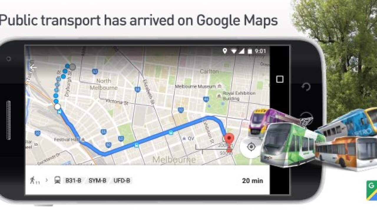
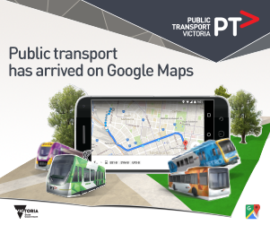
Melbourne’s public transport timetables are now available on Google Maps.
From today, commuters will be able to use the popular navigation app on their phones, tabs and desktops to get public transport directions to travel around Victoria on trains, trams and buses.
Public Transport Minister Jacinta Allan said it would make it easier for Victorians and visitors to move around the state on public transport.
She said it would help commuters compare journey times and decide if public transport would be more efficient than driving.
The app — available on mobile and desktop devices — would show train, tram and bus routes, schedules and stop information.
It is aimed at making transit faster and easier for Melbourne commuters.
Ms Allan said Google Maps did not yet offer “real-time information” on cancellations and delays but that would be “the next stage in development”.