How viewing Earth from space can better predict droughts and fires

Australian coast seen from space

Australian coast seen from space when ESA astronaut Luca Parmitano circled the Earth on the International Space Station during his Volare mission in 2013. Source: ESA

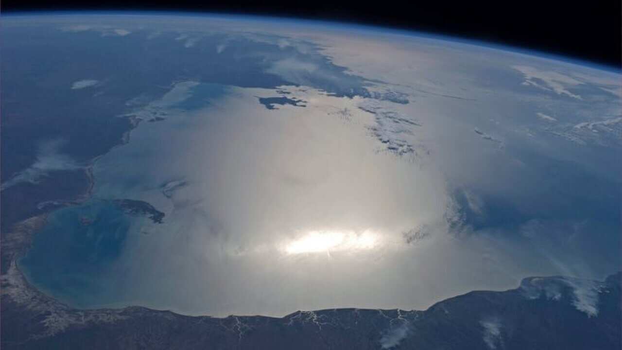
Drought and Bushfires risk could soon be predicted months in advance, thanks to emerging research using satellite technologies. Scientists have been measuring groundwater and soil moisture using data from satellites orbiting the Earth. And it could give Australians forecasters a new tool for mitigating some of the effects of climate change.


Share
Download our apps
SBS Audio
SBS On Demand

Listen to our podcasts
Independent news and stories connecting you to life in Australia and Hindi-speaking Australians.
Ease into the English language and Australian culture. We make learning English convenient, fun and practical.
Get the latest with our exclusive in-language podcasts on your favourite podcast apps.

Watch on SBS
SBS Hindi News

SBS Hindi News

Watch it onDemand