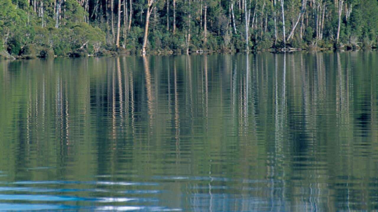
Image of Lake St. Clair at Cradle Mountain Lake, St. Clair National Park, in Tasmania. (AP Photo/Joe Shemesh, Tourism Tasmania) Credit: Credits: AP/AAP
Lake St Clair, nestled within Tasmania's Wilderness World Heritage area, was formed by glaciers over millions of years. Though it is nearly twice as deep as Bass Strait and recognised as Australia’s deepest lake, it had never been fully mapped, until now. CSIRO scientists have created the first 3-D map of its underwater terrain, revealing the true scale and depth of this natural wonder. Residents describe the lake as pristine, offering a 'truly breathtaking view'.
Lake St Clair, nestled within Tasmania's Wilderness World Heritage area, was formed by glaciers over millions of years. Though it is nearly twice as deep as Bass Strait and recognised as Australia’s deepest lake, it had never been fully mapped, until now. CSIRO scientists have created the first 3-D map of its underwater terrain, revealing the true scale and depth of this natural wonder. Residents describe the lake as pristine, offering a 'truly breathtaking view'.