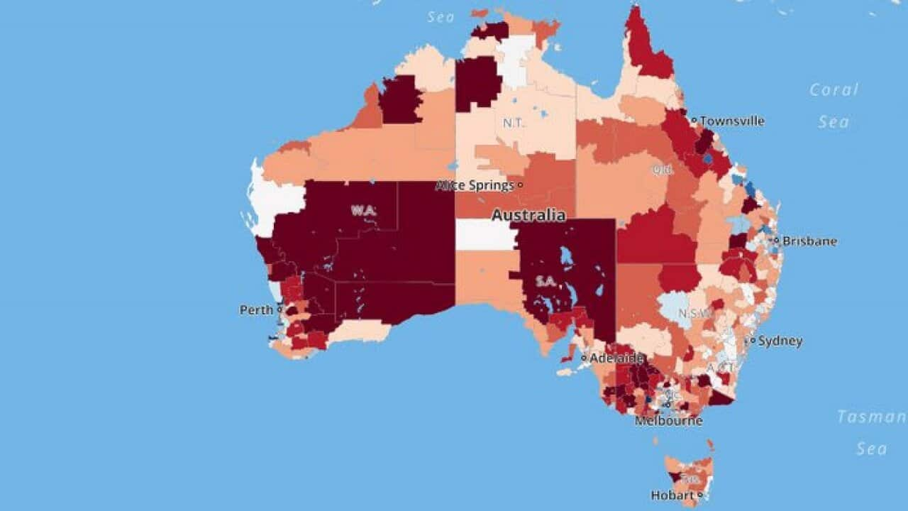
Melbourne is expected to overtake Sydney as Australia’s largest city by 2056, as parts of Australia face higher growth rates than others. The average population growth rate across Australia is 1.6 per cent, data from the Australian Bureau of Statistics shows.
However, the populations of some districts are shrinking while others have growth rates more than 10 per cent. The suburb of Truganina, part of Greater Melbourne, saw a 16.8 per cent population growth in 2013-14. The district of Anglesea, 90km away, saw its population decline 3.3 per cent.
This interactive map shows regional estimates of population growth for 2013-2014. Areas are shaded in proportion to the estimated rate of population growth above or below the national average.
The areas shown are ‘Statistical Area Level 2’ (SA2) standard areas as used by the Australian Bureau of Statistic. SA2 is a general purpose, medium-sized area, which is used to represent communities that interact socially and economically. SA2 generally has a population range of 3,000 to 25,000 people, and about 10,000 people on average. There are 2,196 of these areas covering the whole of Australia.
Hover over an area to activate the charts underneath the map. One chart displays the residential population as of June 30 for the last 11 years. The other two charts display internal regional migration in areas over the last 8 years.
