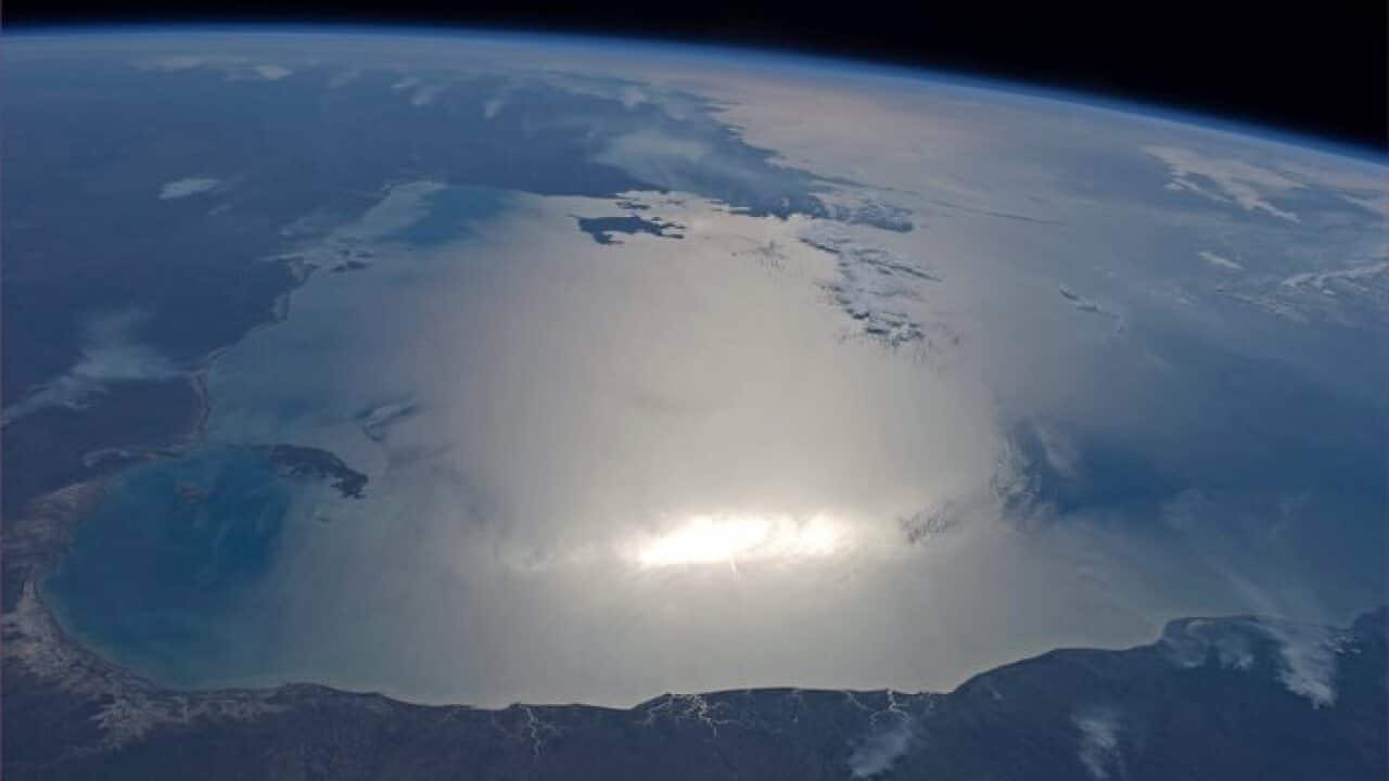
Drought and bushfire risk could soon be predicted months in advance, thanks to emerging research using satellite technologies. Scientists have been measuring groundwater and soil moisture using data from satellites orbiting the Earth.
Share

Published
Updated
By Evan Young
Source: SBS
Share this with family and friends

Get the latest with our exclusive in-language podcasts on your favourite podcast apps.