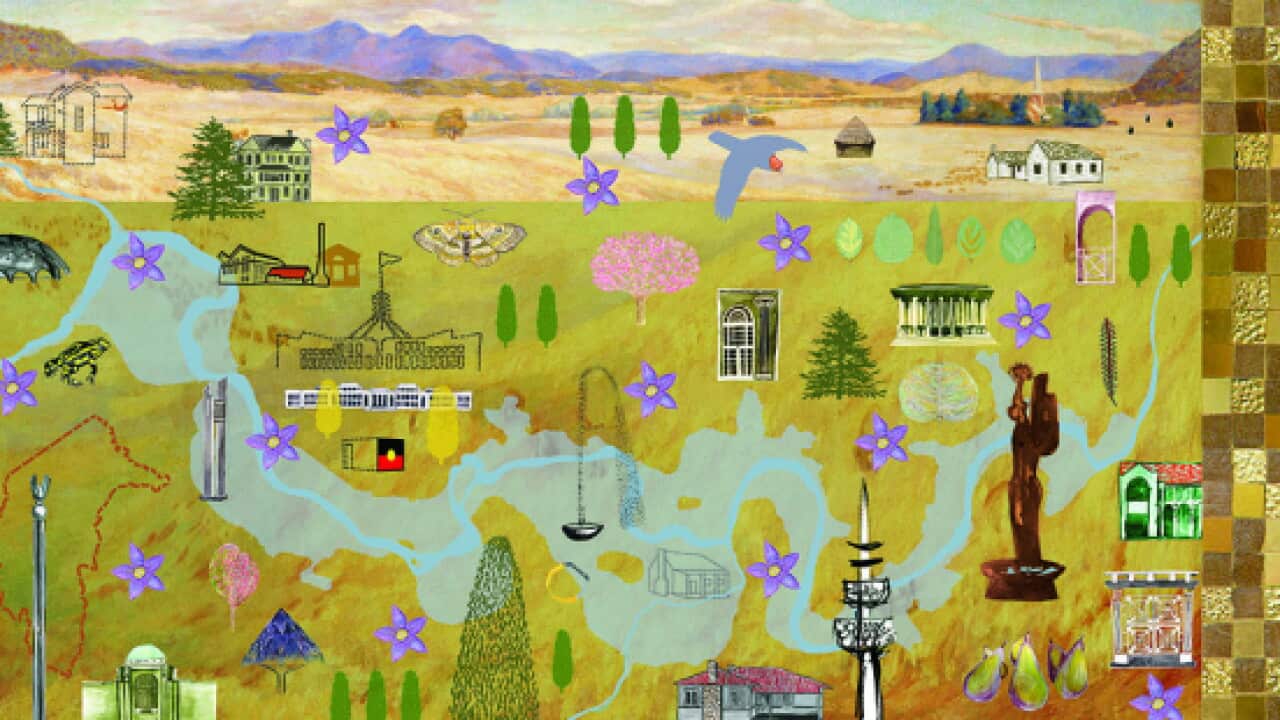
The tapestry shows some of Canberra's most well-known landmarks and will be displayed in the ACT Legislative Assembly.
The project combines the work of experienced tapestry artists and members of Canberra's community.
Centenary of Canberra patron Sir William Deane says he hopes the tapestry will travel around Australia.
News that makes sense
Your trusted source for staying up-to-date with the world around you. Get free daily news updates and analysis, straight to your inbox.
"It will have a nomadic life. Certainly it will have a very long indeterminate life," he says.
"Wherever it may be it will delight and educate."
Project leader, Valerie Kirk says the tapestry project was chosen so that it could be preserved for future generations.
“Tapestries have a very long history of being made for important occasions. They’ve celebrated major things in history, have involved people who’ve made projects that have lasted for posterity,” she says.
Ms Kirk says the project has been particularly popular among Canberra’s migrant and refugee communities.
“Often they come with a history of knowing about textiles, knowing about weaving and so it’s been interesting to see their response and how they’ve engaged with the tapestry,” she says.
Student, Phoenix McKay contributed to the centenary art project.
She says working on the project helped her to learn more about both Canberra and art.
“I love Canberra so it’s pretty awesome to see one part of the tapestry and say ‘I did that,’” Ms McKay says.
The tapestry will be displayed at the ACT Legislative Assembly.
Meanwhile, an exhibition at the National Library of Australia is using the charts to tell the story of how Australia found its way into the known world.
On show are some of the early charts of the Dutch explorers and Matthew Flinders' 1814 General Chart of Australia.
There are also Aboriginal paintings and maps that show how indigenous people understood their world.
And the Fra Mauro Map of the World, from the 1450s, has never before been displayed outside Venice.
Maps curator Dr Martin Woods has told SBS radio's Dutch program maps haven't always looked the way they do now.
"There are times when maps of the world had south at the top. The reason for that in the 1500s for example was because people were going south: that was their point of destination.
"There were now, in the Age of Discovery, moving their way through to places like South America, then the Great South land that they imagined these antipodeans lived in and so on."







