By David Yanofsky | @YAN0
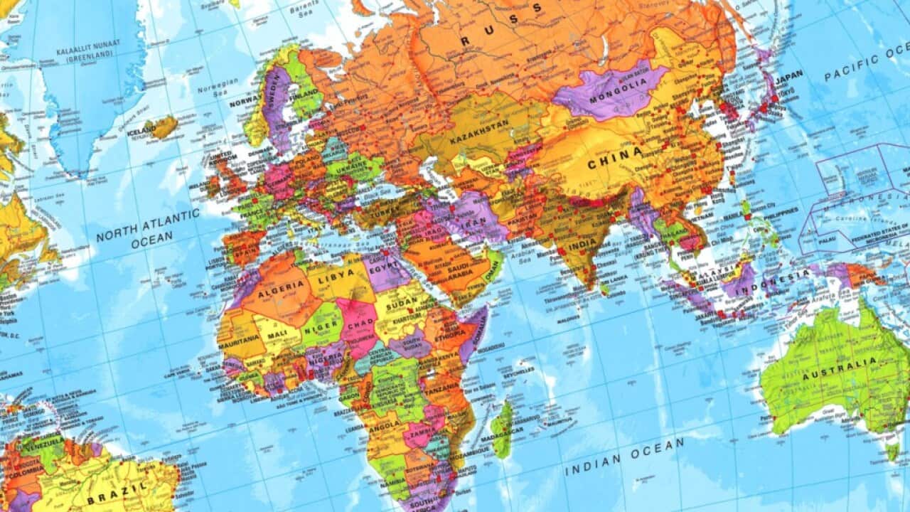
It’s hard to draw a map without making someone angry. There are 32 countries that Google Maps won’t draw borders around. While the so-called geo-highlighting feature—which Google uses to show a searched area’s borders—is unaffected by the locale of the person looking at them, the borders drawn on Google’s base map will look different depending on where in the world you are.
For example, look at the borders of Arunachal Pradesh—an area administered by India but claimed as a section of Tibet by China (which also claims Tibet). The region is shown as part of India when viewed in India; as part of China when viewed in China; and as distinct from both countries when viewed in the US.

The border between China and Bhutan has been the subject of decades of diplomatic talks, since the areas China claims in Bhutan’s West would provide China with strategic military positions on the Indian border. The country’s borders are similarly altered when viewed from China, showing some areas administered by Bhutan as part of China.
News that makes sense
Your trusted source for staying up-to-date with the world around you. Get free daily news updates and analysis, straight to your inbox.

This latest information about Google’s geographic capitulation was revealed at a hackathon this past weekend, sponsored by the Knight-Mozilla OpenNews project.The team producing the project included a visiting researcher at MIT, a developer from the publication Medium, a graphics editor from National Public Radio, and a designer at Fast Company. They wrote software to compare borders on Google Maps automatically and then put together a web page documenting their findings on how 12 different disputed areas are drawn.
In response to Quartz’s previous story on Google Maps’ borders, a spokeswoman for the company confirmed the company’s practice of tailoring borders to local views: “Google Maps makes every effort to depict disputed regions and features objectively.” She noted that certain jurisdictions have laws regarding maps, adding, “Where we have local versions, we follow local regulations for naming and borders.”
This article was originally published on Quartz. Click here to view the original. © All rights reserved. Distributed by Tribune Content Agency.