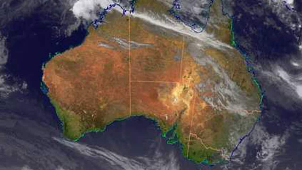
Australia's Top End is on cyclone alert with gale-force winds forecast over the next 24 hours.
An official Cyclone Warning was declared around 11am (CST) on Tuesday for all coastal and island communities from Cape Hotham, northeast of Darwin, to Kalumburu in Western Australia.
Authorities says there's a strong possibility a tropical low pressure system in the Timor Sea will develop into a cyclone on Wednesday or Thursday.
News that makes sense
Your trusted source for staying up-to-date with the world around you. Get free daily news updates and analysis, straight to your inbox.
The Bureau of Meteorology's forecasting operations manager, Todd Smith, says the best estimates are the full brunt of the storm will hit well to the west of Darwin at Wadeye, also known as Port Keats, about 10pm (CST) on Wednesday.
But he reminded everyone in the warning zone, which includes Darwin, to prepare for gale-force winds, which can gust to over 100km/h.
If there are loose objects around they could become airborne," he said.
"We are not expecting a severe tropical cyclone impact, but nonetheless, this late in the season when the ground is very wet, trees fall over pretty easily." he added.
He warned there's still some uncertainty about the direction the storm will take.
Rangers manager at the Thamarrurr Development Corporation, Michael Schultz, who is based in Wadeye, said the community was battening down.
"We are maintaining a stockpile of fuel and water, making sure generators are functioning, and making sure all staff are notified and accounted for," he told AAP.







