


A powerful typhoon, the second in a week, is barrelling toward the southern cluster of Japanese Okinawa islands, prompting warnings about torrential rainfall and fierce wind gusts.
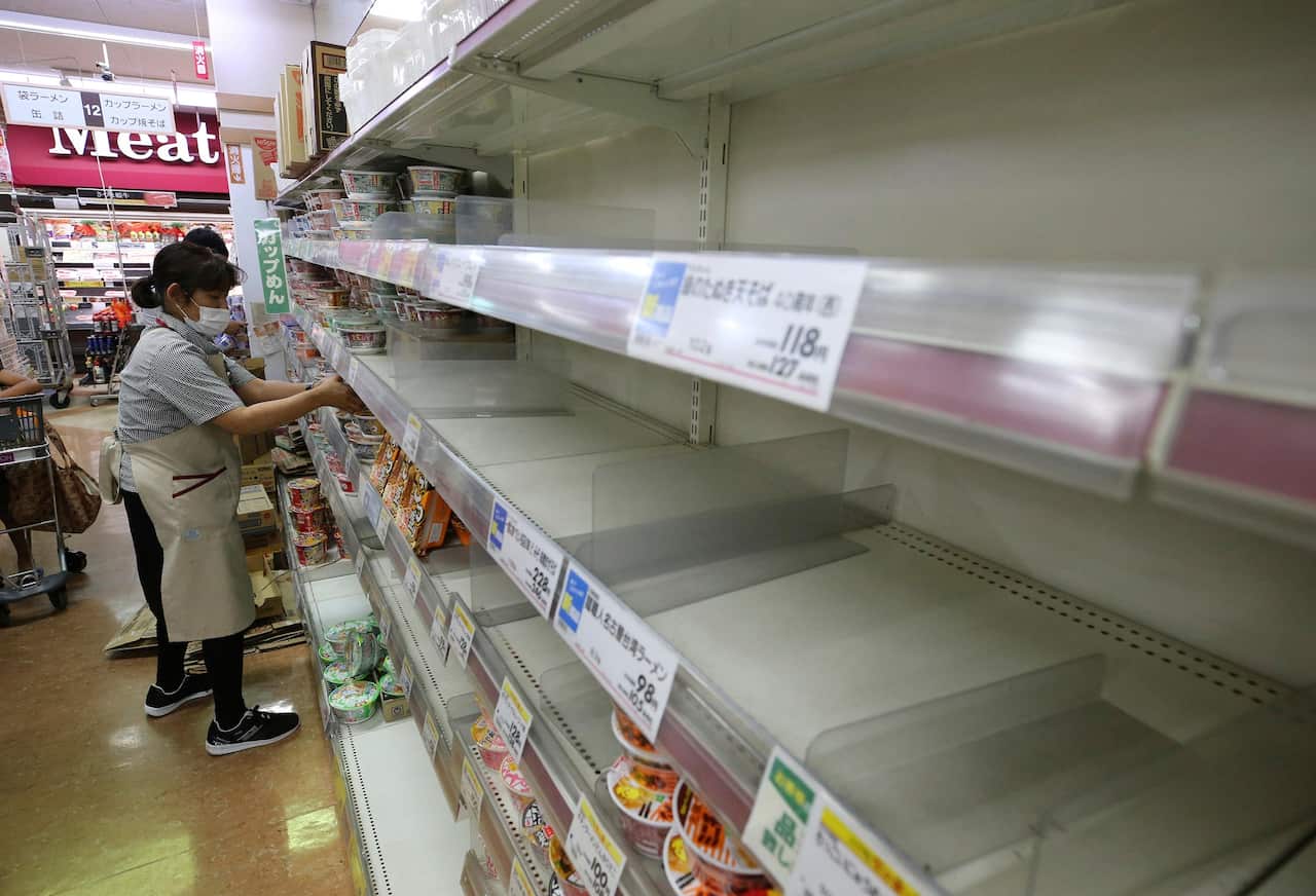
Weather officials have cautioned about Typhoon Haishen for the past several days, urging people to brace for what could be a record storm and be ready to take shelter and stock up on food and water.
The Japan Meteorological Agency said Haishen, packing sustained winds of up to 200 kilometres per hour early on Saturday, was on course to hit Okinawa by Sunday, and later the main southern island of Kyushu.
But the pouring rain, high tides and winds will hit long before the typhoon, the agency said.
News that makes sense
Your trusted source for staying up-to-date with the world around you. Get free daily news updates and analysis, straight to your inbox.
Haishen, or "Sea God" in Chinese, was moving northward at 15km/h from out at sea, south of Minami Daito, an island to the south of Japan. The projected course has Haishen hitting the Korean Peninsula on Tuesday.
Earlier this week, Typhoon Maysak battered southern Japan, injuring dozens of people and cutting power to thousands of homes.
A cargo ship carrying 43 crew members and 5800 cows from New Zealand capsized off the coast of Japan. Two people were rescued on Friday and one body was recovered. Rescuers also spotted dozens of cow carcasses floating in the area.
