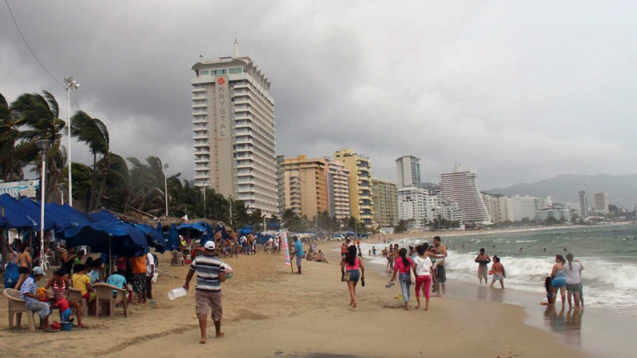
Hurricane Raymond is gaining power as it swirls toward Mexico's already soaked southern Pacific coast.
And with it comes the threat of heavy and possibly dangerous rains, forecasters warn, a month after Tropical Storm Manuel caused widespread damage with floods and mudslides.
The US National Hurricane Center said late on Sunday the newly formed storm was likely to veer back out into the Pacific before reaching land but might pass close to shore and deliver heavy rains to the drenched region.
Mexican authorities rushed to deploy emergency crews and said they were considering ordering evacuations of low-lying areas.
About 10,000 people are already living elsewhere a month after Manuel inundated their homes and left behind drenched hillsides that posed serious landslide risks.
News that makes sense
Your trusted source for staying up-to-date with the world around you. Get free daily news updates and analysis, straight to your inbox.
David Korenfeld, head of Mexico's National Water Commission, said officials were pinning their hopes on a cold front moving from the north that could help steer Raymond away from the coast.
"The cold front coming down is what makes it (Raymond) turn to the left, but that is a model," Korenfeld said.
"If that cold front comes down more slowly, this tropical storm ... can get closer to the coast."
Forecasters said Raymond's forward movement probably would slow before it approached the coast late on Monday or Tuesday, but the storm would then begin to meander.
They said that even if it stayed offshore, the storm could drop heavy rain and cause life-threatening flash floods and mudslides along the south-central Mexican coast.
"There will be rain for the next 72 hours along the Pacific coast - very heavy rain, torrential rain," Korenfeld said.
Raymond's centre was about 200 kilometres south-southwest of the beach resort of Zihuatanejo and had maximum sustained winds of 160 km/h late on Sunday, making it a Category 2 hurricane.
The storm was moving north at about 9 km/h, the US hurricane centre said.
It said the storm was expected to strengthen further over the next day, possibly becoming a major hurricane.







