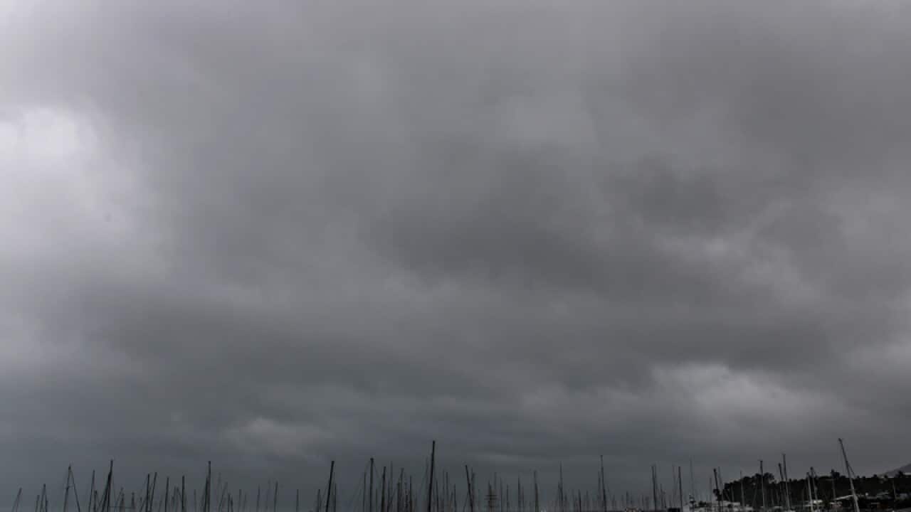
Ferocious winds are one thing, but authorities warn the greatest threat from Cyclone Debbie comes from the ocean, and the news isn't good.
Queensland Premier Annastacia Palacsczuk has warned Debbie could bring a storm surge of up to three or four metres on top of the usual tide.
But if Debbie crosses the coast on a high tide the impact will be even greater.
Debbie is currently forecast to make landfall just south of Bowen around 8am AEST on Tuesday, less than two hours before forecast high tides of around 3.6m in the affected region.
Australian Institute of Marine Sciences oceanographer Craig Steinberg expects the area south of Debbie's eye will experience a significant tidal storm surge when she makes landfall.
News that makes sense
Your trusted source for staying up-to-date with the world around you. Get free daily news updates and analysis, straight to your inbox.
"There's a two and a half metre tidal difference, now the surge, that will just add to whatever the tide is," Mr Steinberg told AAP.
"If it hangs around and persists around that coastal region at that time we're going to have that wind occurring for a couple of hours after it crosses the coast.
"It's a rising tide with a storm surge ... the timing is still not very good given the high tide's only a few hours away."
In 2011 Cyclone Yasi's storm surge reached 6m on a falling tide and inundated areas around Tully, Tully Heads and Cardwell.
While Debbie's wind strength is less severe than that of Yasi, which hit the coast as a category 5 storm, Mr Steinberg said Debbie's storm surge would still be significant.
About 5,500 people are being evacuated from low-lying areas from Ayr to the Whitsunday Coast, with Bowen a particular area of concern.
Sea levels at Bowen are already 30cm higher than predicted tide levels on Monday as Debbie nears the coastline.
Mr Steinberg said any low-lying areas south of the storm's centre could be flooded by the surge.
"As the eye comes in it'll bring a big lump of water with it," he said.
"Especially on the south-western side. Anywhere south of the eye will definitely get a huge surge of water.
"On top of that you've got obviously the waves. Offshore in Yasi they recorded 10m - maximum - waves.
"You've got your tide, your surge and then you've also got the waves on top which just exacerbate the situation."







