In brief
- Climate change, a strong El Niño and another climate driver could combine forces this spring.
- However, there are signs it's not all bad news for the summer bushfire threat.
Three climate forces are lining up ahead of spring, raising the odds of hotter and drier weather across parts of Australia.
The world is facing a potentially record-breaking El Niño, with the Bureau of Meteorology (BoM) forecasting it will continue to intensify into a "very strong event" that may persist well into next year.
At the same time, another Australian climate driver associated with warmer and drier conditions — a positive Indian Ocean Dipole (IOD) — is expected to develop by spring.
"So, for Australia through the coming spring and summer, the double whammy of climate change and El Niño will be driving our weather. In actual fact, we might even have a triple whammy," Andrew Watkins, an adjunct professor at Monash University and a Climate Council researcher, told SBS News.
He said the IOD "is effectively El Niño but in the Indian Ocean".
News that makes sense
Your trusted source for staying up-to-date with the world around you. Get free daily news updates and analysis, straight to your inbox.
"Unfortunately, that pattern really sets in until summer, when the Asian monsoon comes in and knocks it over. But if we have climate change and El Niño and a positive Indian Ocean dipole, they are three things that all push south-east Australia into hotter and drier, and especially the spring period," he said.
Will Australia see a repeat of Europe's summer?
While an El Niño does not necessarily mean hotter and drier conditions for Australia, it does raise the likelihood.
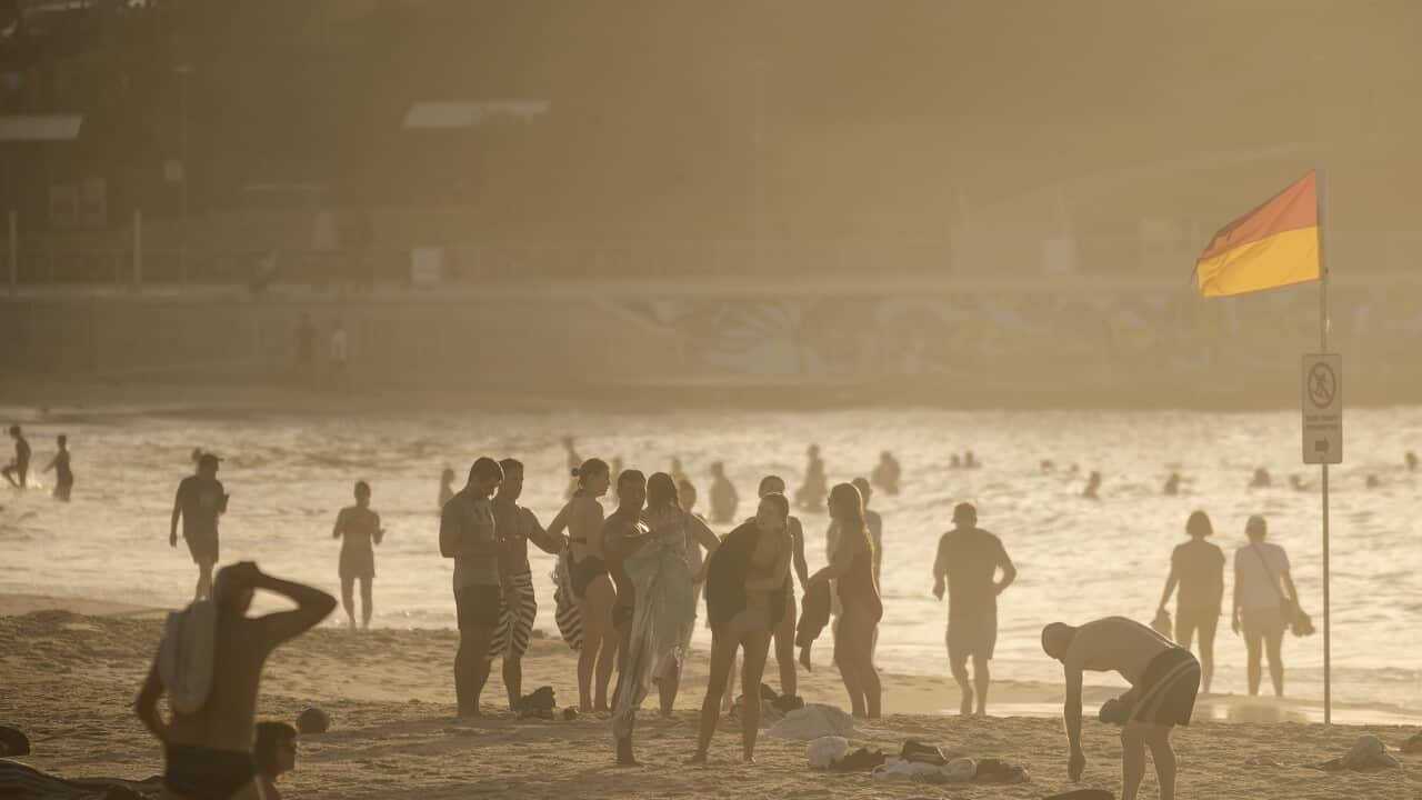
As parts of Europe and the United States swelter through a summer of scorching heatwaves and fires, BoM climatologist Zhi-Weng Chua says soon, much of Australia will likely swelter too.
He says there is a high chance much of the nation's south-east and south-west will experience one of the warmest springs on record.
"Western parts of Western Australia, extending into southern Queensland and parts of south Australia, there is a strong indication that temperatures will be in the top 20 per cent of historical records for spring," he told SBS News.
But the heat expected during Australia's spring and summer are driven by different factors to those pushing temperatures skyward in Europe and North America.
Those continents have experienced the impact of climate change in the past few months, with record-high temperatures leading to high fire danger.
El Niño is an event measured by the sea surface temperature of the Pacific Ocean — it has a strong impact on the Asia Pacific, but far less on Europe and North America.
Sea surface temperatures in the central Pacific are now more than 2C above average — a level associated with a very strong El Niño — for the first time in a decade.
Australia's bushfire outlook
Greg Mullins is the former commissioner of Fire and Rescue NSW.
In recent years, he has used his expertise to drive action on climate change preparedness and risk evaluation, as a member of the Climate Council.
He recently told SBS News this year's converging climate drivers were extremely worrying, noting that emergency agencies were working with the BoM ahead of the release of the spring bushfire seasonal outlook, which would help guide preparations.
He said the combination of an El Niño with a positive Indian Ocean Dipole could drive "flash droughts" that heighten bushfire risk.
"Those two together can drive rapid drought, what we call flash drought, that you know within weeks you're suddenly in bad fire territory," he said.
"I know there's a lot of deep concern in all the fire agencies nationally," he said.
However, BoM meteorologists said there are signs that rain could disrupt the summer bushfire threat in many areas.
"That drier than average pattern that we're seeing for September does break down for much of the country and we start seeing either above average rainfall being favoured or even a not-clear signal for a lot of the country," Chua said.
Victoria and Tasmania, however, are expected to remain comparatively dry, he said.
For the latest from SBS News, download our app and subscribe to our newsletter.







