Using 35 years of data and computer modelling, scientists have been able to extensively map Queensland's seagrass meadows in the hopes of protecting the Great Barrier Reef.
Researchers from James Cook University have identified more than 88,000 square kilometres of potential seagrass habitat in intertidal and subtidal areas of the reef.
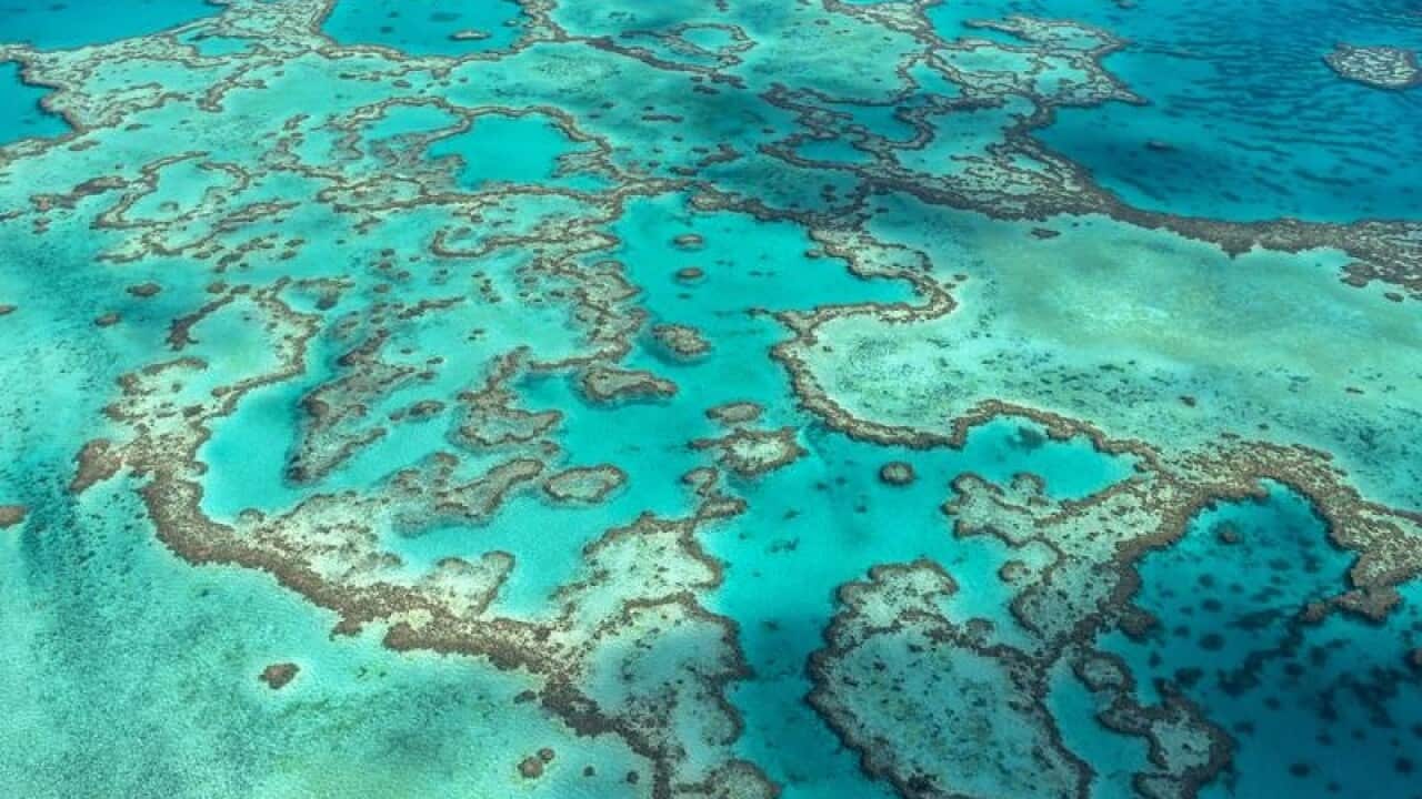
With estimations of 350,000 square kilometres of seagrass existing on the reef, these additional habitats are vital to its health and protection of species.
"Seagrass meadows provide food and shelter for fish and crustaceans, dugong and green sea turtles. They perform nutrient cycling, particle trapping, and removal of bacterial pathogens and are a valuable marine carbon sink," JCU researcher Catherine Collier said.
News that makes sense
Your trusted source for staying up-to-date with the world around you. Get free daily news updates and analysis, straight to your inbox.
"But at the same time, they are vulnerable to a number of threats, often stemming from human activities that produce pollutants and sediment and which can have catastrophic consequences," Dr Collier said.
Due to the scale and complexity of marine habitats, data sampled could be less precise to equivalent land-based environments, Dr Collier said.
Throw in the high cost of sampling seagrass meadows as well as massive data sets, and the scientists had to blend this data through computer modelling to accurately illustrate foundations for monitoring, trends and management.
"We also showed that the structure, location and distribution of the seagrass communities is the result of complex environmental interactions," Dr Alexandra Carter said.
"... Including depth, tidal exposure, latitude, current speed, benthic light, proportion of mud in the sediment, water type, water temperature, salinity, and wind speed.
"Our analysis will underpin spatial planning, it can be used in the design of monitoring programs to represent the diversity of seagrass communities, and will help our understanding of the environmental risk to these habitats. It's a step in the right direction if we want to maintain a healthy environment into the future."
The project is supported with funding from the Australian government's National Environmental Science Program.
