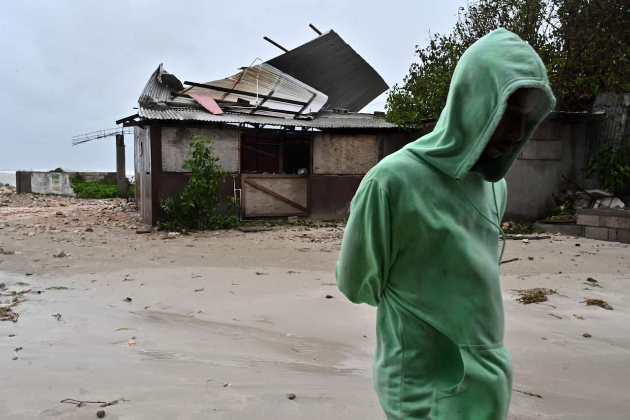
Jamaican officials urged the public to get to higher ground and shelters ahead of Hurricane Melissa's expected landfall, with the prime minister warning it could bring massive devastation.
The category 5 storm — which could be the island's most violent on record — is charting a painstakingly slow path through the Caribbean, and has already been blamed for three deaths in Jamaica, three deaths in Haiti and one in the Dominican Republic.
The US National Hurricane Center (NHC) reported that Melissa was still 240km from Kingston on Tuesday AEDT, and reaching maximum wind speeds of 281km/h.
The NHC expects Melissa to move over Jamaica late on Tuesday or in the early hours of Wednesday, cross eastern Cuba the following night and move over the Bahamas and Turks and Caicos by Thursday.
The storm's slow movement over unusually tepid Caribbean water had contributed to its ballooning size and strength, NHC forecasters said, threatening Jamaica with days of never-before-seen catastrophic winds and nearly a metre of rain.
Melissa's wind span is currently larger than the length of Jamaica, whose main airports sit very close to sea level.
Storms becoming stronger, faster
Jamaican Prime Minister Andrew Holness said the island's western end faced the worst destruction.

"I don't believe there is any infrastructure within this region that could withstand a category 5 storm, so there could be significant dislocation," he told CNN.
Hours after ordering mandatory evacuations for parts of southern Jamaica, including the historic town of Port Royal, Holness called for foreign support and warned of damage to farmland, homes, and infrastructure such as bridges, roads, ports, and airports.
Up to one metre of rainfall is forecast, with flash flooding and landslides expected in Jamaica as well as Haiti, the Dominican Republic and Cuba.
Despite warnings, some residents told Reuters they were reluctant to leave their homes for fear of looting, and authorities said buses were waiting to be filled up and transport some 28,000 people affected by mandatory evacuation orders.
"There is no infrastructure in the region that can withstand a category 5," he said.
Holness said his government was as prepared as can be, with an emergency response budget of $50 million and insurance and credit provisions for damage slightly larger than that sustained from last year's devastating Hurricane Beryl.
Beryl was the earliest and fastest Atlantic hurricane on record to reach category 5, but scientists warn storms are becoming stronger and faster as a result of climate change, warming ocean waters, and piling up fuel for seasonal storms.
"Tens of thousands of families are facing hours of extreme wind gusts above 100 mph and days of relentless, torrential rainfall," said AccuWeather chief meteorologist Jonathan Porter, adding infrastructure damage could hamper the arrival of aid.
"Slow-moving major hurricanes often go down in history as some of the deadliest and most destructive storms on record," he said. "This is a dire situation unfolding in slow motion."
'We can't move'
Damian Anderson, a teacher from Hagley Gap, a town nestled in Jamaica's soaring Blue Mountains, said impassable roads had already cut off his community.
"We can't move," Anderson, 47, said. "We're scared. We've never seen a multi-day event like this before."
Nearby Haiti and the Dominican Republic have already faced days of torrential downpours leading to at least four deaths, authorities in those island nations said.
Bahamian Prime Minister Philip Davis also ordered evacuations for people in the southern and eastern parts of the archipelago, while much of eastern Cuba battened down ahead of Melissa's expected landfall.
Cuban authorities said they had evacuated upwards of 500,000 people living in coastal and mountainous areas vulnerable to heavy winds and flooding, and cancelled schools and transport across eastern Cuba.
More than 250,000 people were brought to shelters around Santiago de Cuba, the island's second-largest city, which lies squarely in the crosshairs of the hurricane's predicted path.
For the latest from SBS News, download our app and subscribe to our newsletter.

