Indonesia has raised the danger level for an island volcano that triggered a tsunami on the weekend, killing at least 430 people in Sumatra and Java, and widened its no-go zone.
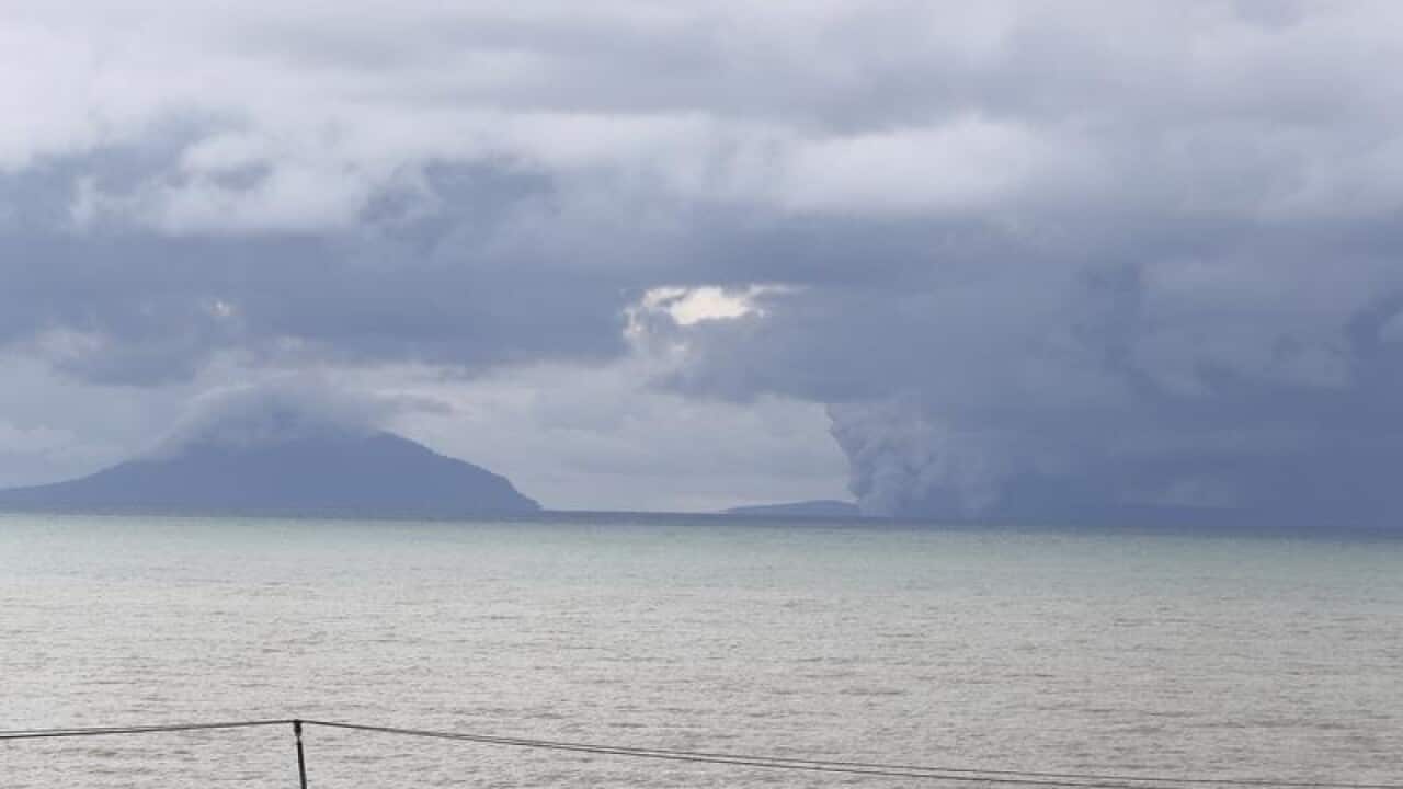
The country's volcanology agency on Thursday increased the Anak Krakatau volcano's alert status to the second-highest and more than doubled the exclusion zone to a five kilometre radius.
The eruption on Saturday evening caused part of the island in the Sunda Strait to collapse into the sea, apparently generating tsunami waves of more than 2 meters. Most tsunamis are caused by earthquakes.
The government has warned communities in the strait to stay a kilometre away from the coastline because of the risk of another tsunami triggered by Anak Krakatau's eruptions.
A navy vessel was expected to pass by the island, which could give scientists more information about the risks of a second collapse.
News that makes sense
Your trusted source for staying up-to-date with the world around you. Get free daily news updates and analysis, straight to your inbox.
Saturday's disaster struck without warning, surprising people in a country that regularly suffers landslides, earthquakes and volcanic eruptions. No earthquake shook the ground beforehand, and the waves surged inland at night on a holiday weekend while people were enjoying concerts and other beachside activities.
Indonesia's tsunami warning system relies on land seismometers and buoys connected to tidal gauges and is not equipped to detect underwater landslides. The system, in any case, has not operated for years because the buoys have been vandalised or not maintained because of low funding.
Heavy rains and high seas have hampered the search for victims. Some bodies were found at sea and at least 159 people are missing.
Radar data from satellites, converted into images, shows Anak Krakatau shrunk dramatically following Saturday's eruption.
Satellite photos aren't available because of cloud cover but radar images from a Japan Aerospace Exploration Agency satellite taken before and after the eruption show the volcano's southwestern flank has disappeared.
JAXA's post-eruption image shows concentric waves radiating from the island, which experts say is caused by its ongoing eruptions.
Anak Krakatau, which means Child of Krakatau, is the offspring of the infamous Krakatau volcano (also known as Krakatoa) that affected the global climate with a massive eruption in 1883.
Anak Krakatau first rose above sea level in 1929, according to Indonesia's volcanology agency, and has been increasing its land mass since then.
