

In Brief
- Cyclone Narelle is set to make landfall at 7am on Friday (AEST)
- The initial Category 5 storm has been downgraded to Category 4
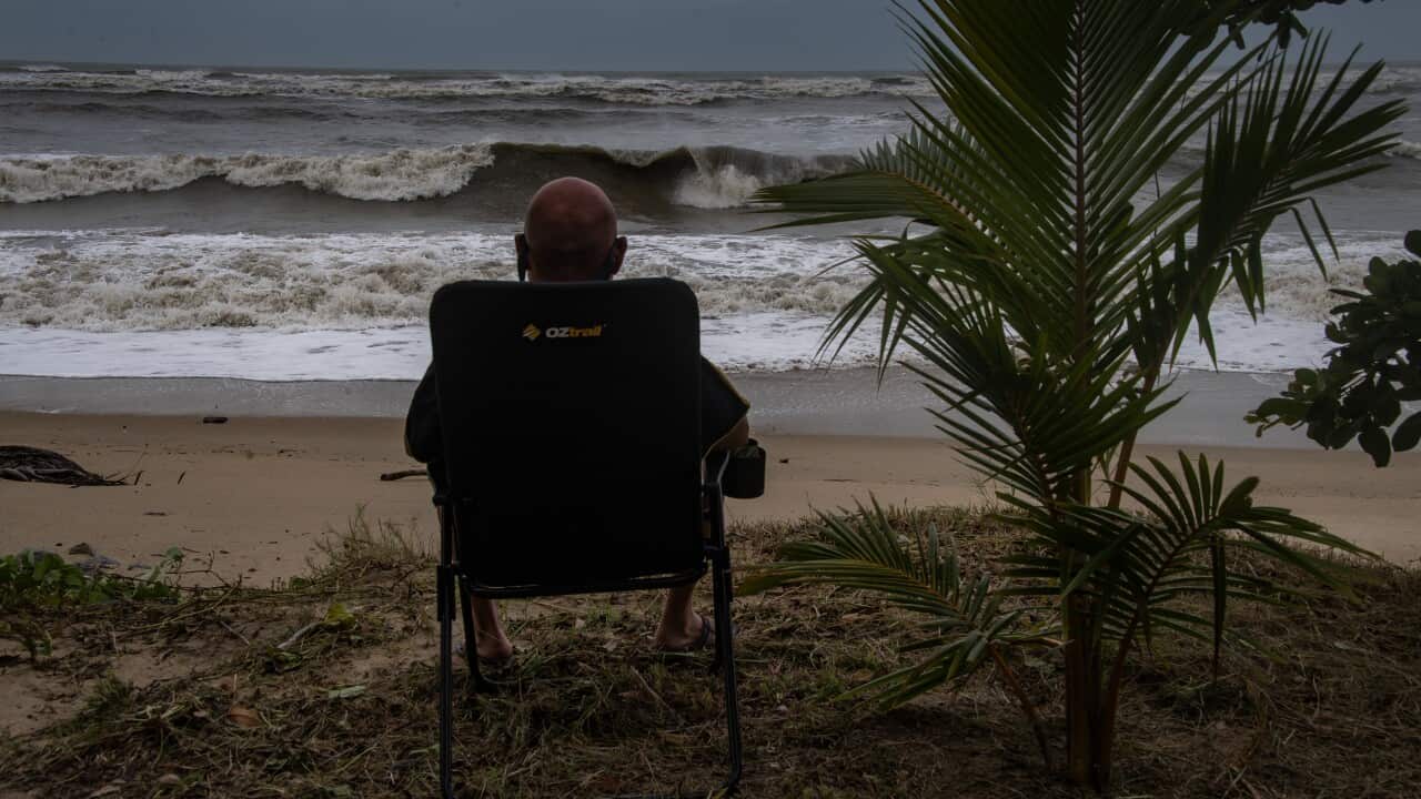
Far north Queensland is bracing for its biggest cyclone in more than a century as the possible category 4 storm looks to make landfall on Friday morning.
"It is an extremely powerful weather system," the Bureau of Meteorology's Angus Hines said as Tropical Cyclone Narelle drew closer.
"They do not get more powerful than this."
Narelle was due to cross Queensland's far north as a maximum category five system after intensifying in the Coral Sea, producing wind gusts up to 285km/h.
At 4am (AEST), the BoM downgraded the cyclone to a category 4 with sustained winds near the centre of 195km/h and wind gusts at 270km/h.
News that makes sense
Your trusted source for staying up-to-date with the world around you. Get free daily news updates and analysis, straight to your inbox.
The monster storm is expected to make landfall about 7am (AEST) on Friday between Lockhart River and Cape Melville.
A cyclone warning zone has been declared for Lockhart River and Cape Flattery, and between Mapoon and Pormpuraaw, including Coen, Weipa, and Aurukun.
Vulnerable residents have been evacuated, tourists have returned home and schools have closed.
More than 100 emergency services personnel have been deployed as police go door-to-door to ensure locals are prepared.
After crossing Cape York, the storm is expected to lash the Northern Territory's Top End before moving to Western Australia's Kimberley coast.
About 500 people will be evacuated from NT's remote Gulf of Carpentaria community of Numbulwar in the coming days.
Residents choosing to ride out the storm have been warned emergency services will not respond if conditions are too dangerous.
For the latest from SBS News, download our app and subscribe to our newsletter.
