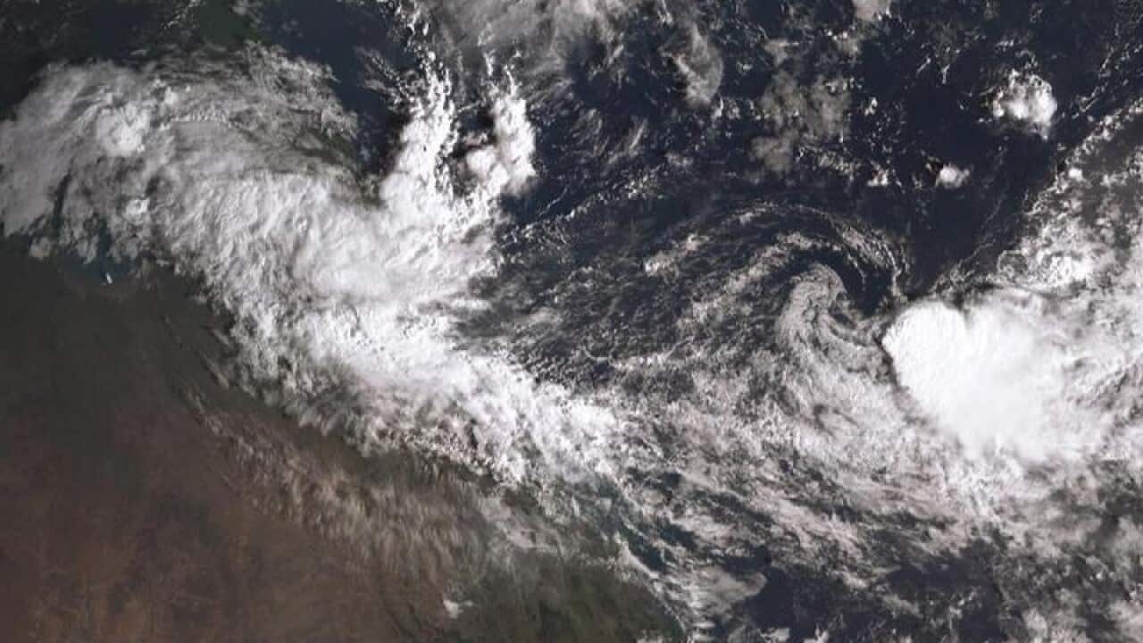
Queensland's entire east coast will receive much-needed rain later this week from tropical Cyclone Owen, which has reformed into a category one system.
The Bureau of Meteorology says the cyclone is currently located northwest of Mornington Island and is still tracking west.
It is expected to swing around to the east on Wednesday morning, and will intensify further into a category three system before it crosses the Queensland coastline near Karumba on Friday.
Residents between the Queensland and Northern Territory border have been warned to prepare as the low pressure system gathers strength over the warm waters of the Gulf of Carpentaria.
News that makes sense
Your trusted source for staying up-to-date with the world around you. Get free daily news updates and analysis, straight to your inbox.
On Mornington Island, 470km north of Mount Isa, some residents have already begun leaving as a precaution.
Gales with gusts up to 110km/h are expected to develop between Cape Shield and the Northern Territory, Queensland border on Wednesday morning.
The cyclone is expected to weaken to a low pressure system by the weekend but will still bring destructive winds and heavy rainfall of up to 200mm to the Townsville region on Saturday.
The system is then predicted to push south, dumping much-needed heavy rain along the entire east coast of the state.
