IN BRIEF:
- A low-pressure trough is set to bring wet weather to Australia's east coast.
- The BoM's long-range forecast predicts a warmer and drier winter, with the possibility of El Niño forming by the end of the season.
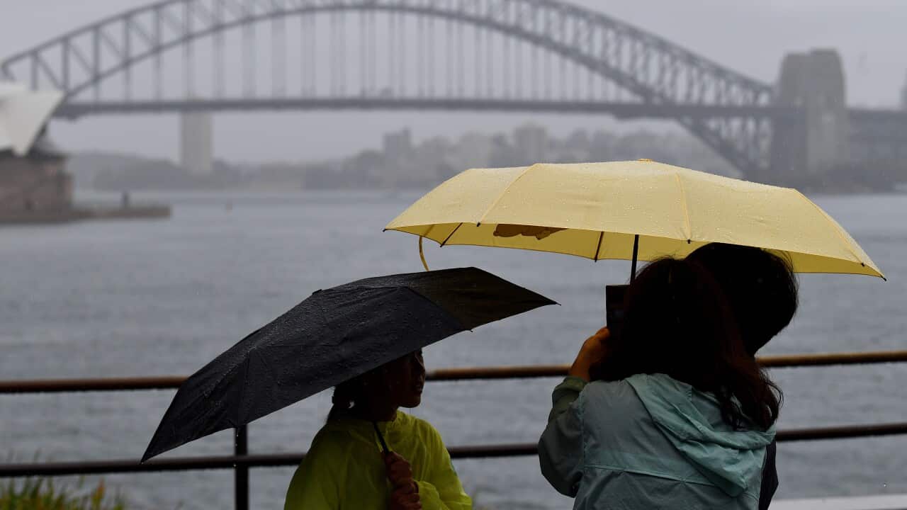
After experiencing its second-driest April on record, eastern NSW is finally getting a drenching.
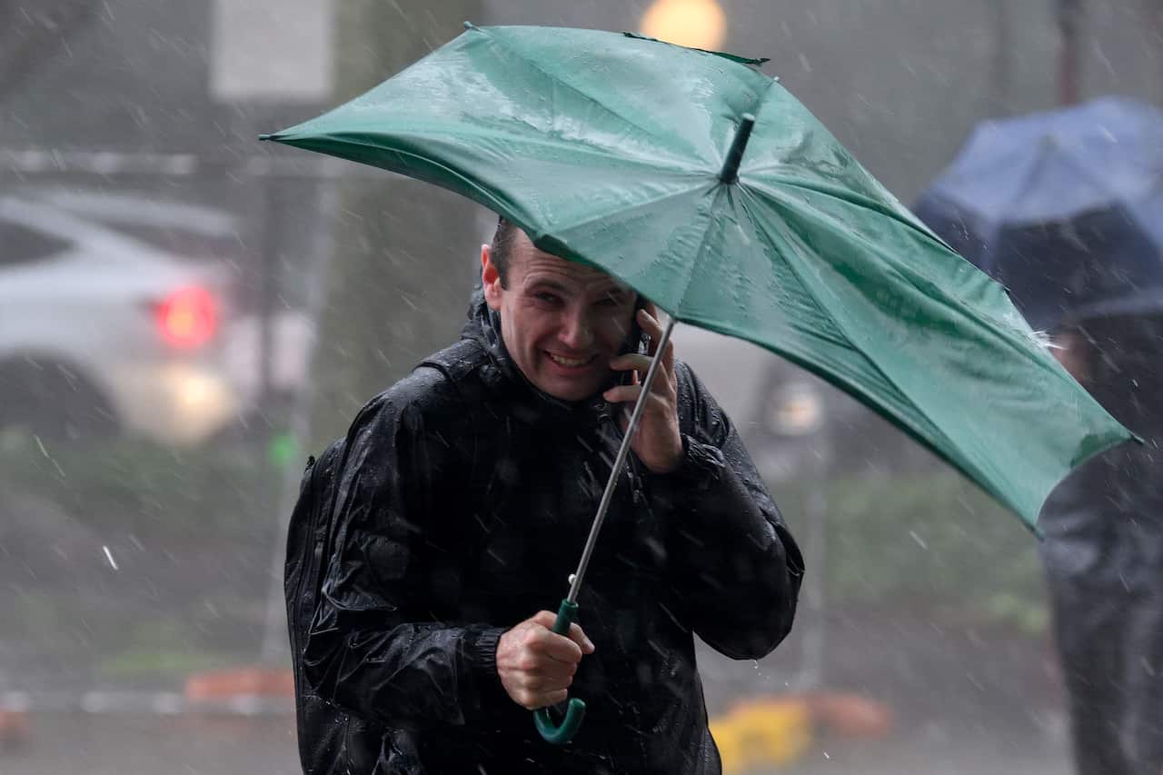
The Bureau of Meteorology (BoM) says a low-pressure trough will continue to bring wet weather to eastern parts of the country over the coming days.
The wet weather follows the lowest April rainfall recorded nationally since 2018.
The BoM says it was partly caused by frequent and long-lived high-pressure systems blocking rain over the east coast and Tasmania.
News that makes sense
Your trusted source for staying up-to-date with the world around you. Get free daily news updates and analysis, straight to your inbox.
But the BoM warns that this week's rain is not a taste of what's to come, with much of the country set to experience a warm and dry winter.
What's in store for parts of the east?
NSW can expect rain across much of the state, and especially in the north-east over the next 24 hours, with the trough bringing a risk of storms and minor flooding to the Mid North Coast and Northern Rivers.
A minor flood warning has been issued for catchments in the region, with river levels expected to rise on Monday evening.
The BoM has warned residents to stay away from flooded drains, rivers, streams, and waterways.
Further south, the trough means that Sydney can expect showers tomorrow and a high of 22C.
Melbourne can expect a foggy, cool Tuesday with a high of 17C and developing showers.
Southern parts of Queensland, including Toowoomba and Brisbane, will have a wet Tuesday before it clears later in the evening.
In Adelaide, showers are easing and the BoM forecasts a top temperate of 19C on Tuesday, while over in the west, Perth is forecast to be sunny and 25C.
Low rain and high temperatures ahead
Last week, the BoM issued its long-range forecast for June to August.
It predicts below-average rain for much of Australia, including south-east Queensland, coastal NSW and South Australia, and eastern Tasmania. Only western Tasmania could see above-average rainfall.
At the same time, there's a higher chance of warmer weather, with a 70 per cent chance of unusually high maximum temperatures across most of the country.
The forecast follows speculation of a "Super El Niño" later in the year, which could bring hotter and drier conditions to Australia.
The BoM says there are early signs of a developing El Niño, which could begin at the end of winter.
For the latest from SBS News, download our app and subscribe to our newsletter.
