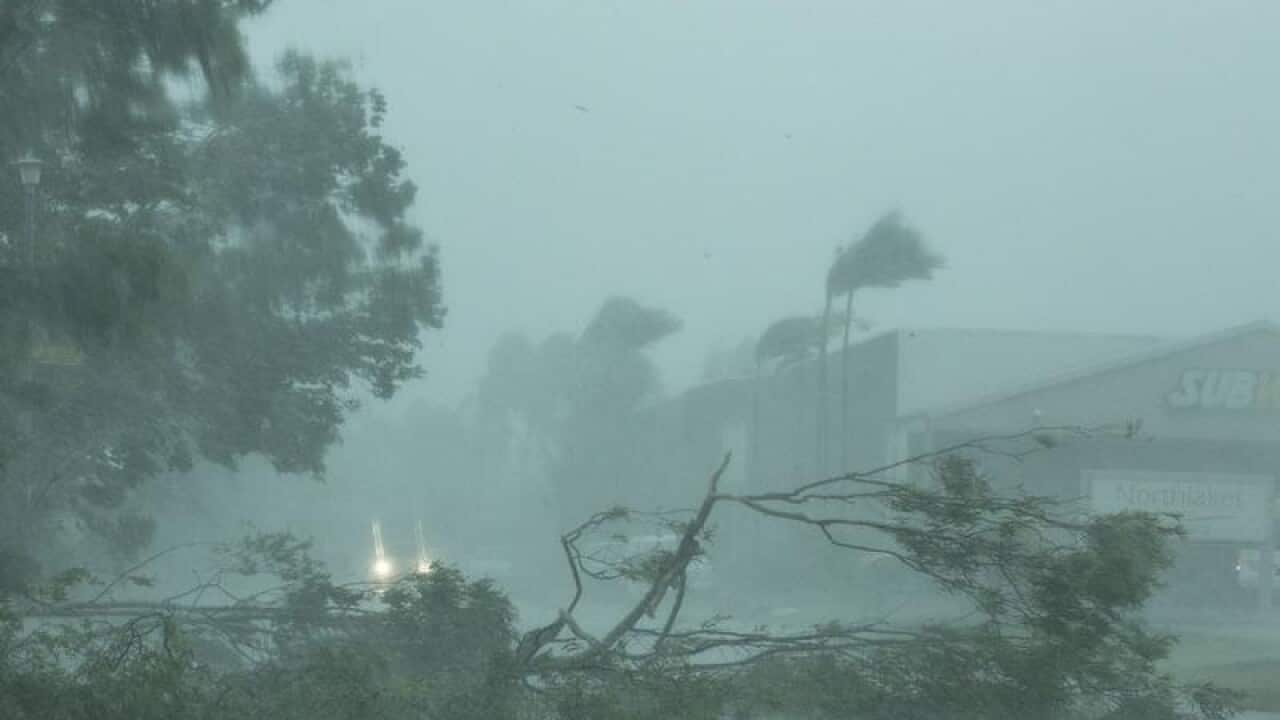
Residents in the Top End have been warned more wild weather could be heading their way as they continue the clean-up from Tropical Cyclone Marcus.
The Bureau of Meteorology says a monsoon trough is redeveloping off the Northern Territory coast but it is too early to say if it will develop into another tropical cyclone.
"There is about a 10 per cent chance it will hit the far-north of the NT and WA from Friday, but our modelling will tell us more during the week," a spokeswoman told AAP on Monday.
Darwin residents are still mopping up from Tropical Cyclone Marcus, which brought down power lines and trees across the city.
"As you can imagine the tropical cyclone has left behind a path of destruction in the greater Darwin region," Senator Nigel Scullion told federal parliament on Monday.
News that makes sense
Your trusted source for staying up-to-date with the world around you. Get free daily news updates and analysis, straight to your inbox.
Power had been restored to 11,000 customers but 18,000 remained without electricity, including most of the region's schools, the NT senator said.
"It is a very difficult time. I urge all Territorians to be patient and calm as authorities co-ordinate the clean-up effort and I encourage everyone to give each other a hand," he said.
Students and non-essential Northern Territory public servants were told to stay home and public schools were closed.
Parents of students attending non-government schools have been told to contact their schools directly for updates.
As well, the Casuarina, Waterfront and Palmerston campuses of Charles Darwin University remain closed.
Marcus has passed off the coast of far-north Western Australia and intensified back into a category two system.
It is currently about 155km north of Cape Leveque.
A cyclone warning remains for people in coastal and island communities from Kuri Bay to Cape Leveque, with wind gusts of up to 100 km/h possible but these should weaken from the east in the afternoon.
Heavy rain and flooding in low-lying areas is also likely to ease later in the day with drivers warned to check updates on road closures.
The tropical cyclone will have no further impact on northern communities as it continues steadily west, growing into a severe category four system on Tuesday.
