
Typhoon Hagupit - Filipino for "smash" - was expected to hit the central Philippines late Saturday, lashing parts of a region that was devastated by last year's Typhoon Haiyan and left more than 7300 people dead and missing.
Still, the good news was that the typhoon was weakening as it blew closer to the coast.
"I'm scared," said Haiyan survivor Jojo Moro. "I'm praying to God not to let another disaster strike us again. We haven't recovered from the first."
The 42-year-old businessman, who lost his wife, daughter and mother last year in Tacloban city, said he stocked up on sardines, instant noodles, eggs and water.
Dozens of domestic flights were cancelled and inter-island ferry services were suspended.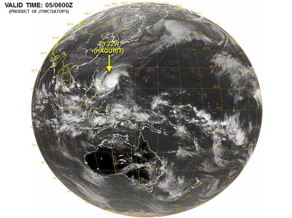 In Tacloban, where Haiyan's tsunami-like storm surges left thousands dead and wiped out entire villages, and in outlying provinces, about half a million people have been moved from high-risk villages to emergency shelters and safer grounds, Welfare Secretary Dinky Soliman said on Friday.
Typhoon Hagupit (US Joint Typhoon Warning Center)
"We've not heard of villagers resisting to be evacuated," regional disaster-response director Blanche Gobenciong said. "Their trauma is still so fresh."
At least 47 of the country's 81 provinces are considered potentially at high risk from Hagupit, officials said. The first one in its path is Eastern Samar province, where it is expected to make landfall. It is then expected to cut across central islands along a route north. But its path thereafter is debatable.
The computer models of the two agencies tracking the typhoon closely - the US military's Joint Typhoon Warning Centre in Hawaii and the Philippine weather agency - predicted different paths for the typhoon.
The US agency said Hagupit may veer north after coming inland and sweep past the southern edge of Manila. The Philippine agency projected a more southern path. But both tracks appeared to be coming closer together as it approached land.
Also, both agencies said the typhoon is slowly losing strength. The US centre in Hawaii downgraded the typhoon's status from a super typhoon and said it was expected to continue losing strength with winds dropping to 175 kph by Sunday morning.
Share
