

Researchers from the British Antarctic Survey (BAS) are using satellite technology to track whales.
The images are taken from a satellite 620 kilometres above the Earth's surface, but can help the BAS track and count four different species of whales.
The images are taken from the WorldView-3 spacecraft, which can identify an object as little as 30cm wide.
The method is a cost-effective solution for tracking whales in inaccessible areas and will help scientists monitor population changes.
News that makes sense
Your trusted source for staying up-to-date with the world around you. Get free daily news updates and analysis, straight to your inbox.
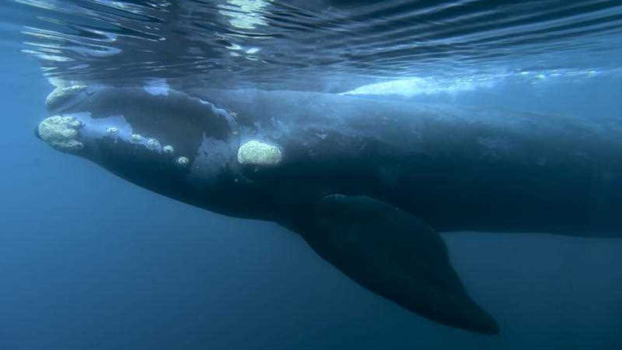
Scientists have already looked at the southern right whales off the coast of Argentina, humpback whales off Hawaii, fin whales in the Pelagos Sanctuary in the Mediterranean and grey whales off the Mexico coast.
BAS ecologist Dr Jennifer Jackson, an author of the study, said the new technology could help paint a picture of whether the species are recovering from the end of whaling.
"This new technology could be a game-changer in helping us to find whales remotely. Critically endangered whale populations like the Chile-Peru right whale (thought to winter in Patagonia) could really benefit from this approach," she told EurekaAlert.
"My project, looking at southern right whales around South Georgia, will examine if the species has made a recovery following the end of whaling. In recent years, many deaths have been seen on their nursery grounds at Peninsula Valdes. Satellite-based technology could prove very useful for measuring trends in whale populations such as these southern right whales, in future."
