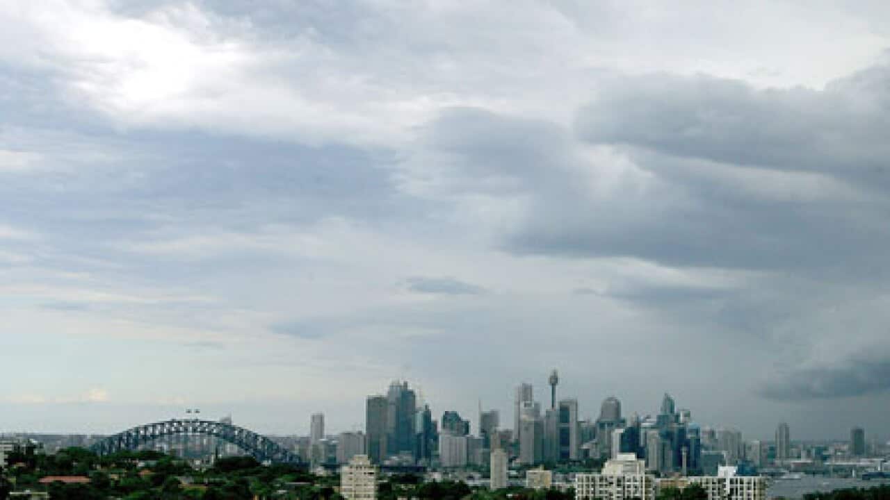
More wet weather will blanket many parts of NSW and Sydney after summer rains caused flash flooding and property damage across the state.
The State Emergency Service (SES) received 345 calls for assistance from Friday afternoon until midnight.
Hot spots included the Illawarra, Blue Mountains and western Sydney with reports of flash flooding, roof damage and downed trees.
But the weather will continue until Tuesday, the Bureau of Meteorology (BoM), has forecasted.
A slow-moving system will bring showers, thunderstorms and rain across large tracts of NSW, which have already been doused over the past two days.
The SES will remain vigilant on Saturday, with the expectation that more assistance will be needed in already-troubled areas.
"We are expecting this weather to continue through the day," an SES spokeswoman told AAP.
"The Bureau (of Meteorology) has predicted further heavy rainfalls and possible storms so we are expecting that we'll get another peak on those phone calls coming through."
For the 24 hours to Saturday at 9am (AEDT), areas around Moruya, on the state's south coast, received up to 110mm of rain.
In the Blue Mountains, Katoomba received 106mm over the same period with a top of 134mm at McMahons Point for the area over the same period.
In Sydney's west, Penrith notched up 92mm, nearly half of which fell in a 30-minute period on Friday evening.
Three homes around Sydney were struck by lightning on Friday afternoon, with 10 people evacuated from one building after a roof collapse.
Share
