
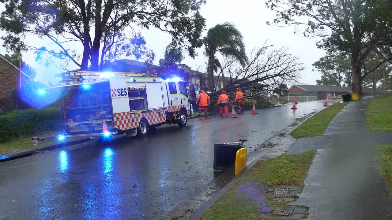
Communities are dealing with fallen trees and powerlines, dam spillage and flying trampolines in the aftermath of a wild weather system that battered Australia's east coast and is now bearing down on a popular small island.
The downpour was driven by a "vigorous" east coast low, which the Bureau of Meteorology predicted would move into the Tasman Sea on Thursday.
The "complex and rapidly deepening" system will continue to bring rain, storms, windy conditions and elevated seas in coming days.
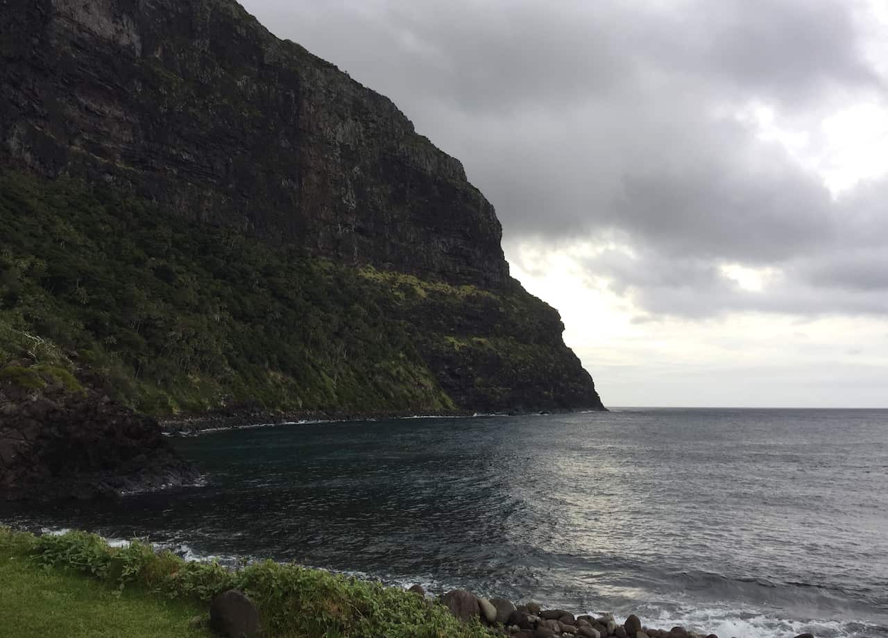
Residents on Lord Howe Island, in the Tasman Sea east of Port Macquarie, have been warned to prepare for the storm, with waves hitting more than five metres.
With 380 residents, the island has a cap of 400 on the number of tourists allowed to visit at any one time, and winter is the season when it is at its lowest.
News that makes sense
Your trusted source for staying up-to-date with the world around you. Get free daily news updates and analysis, straight to your inbox.
Elsewhere, fairly powerful winds were expected to continue through Thursday around parts of northern NSW.
More than 4,000 incidents since start of week
More than 4,000 incidents have been logged to the NSW State Emergency Service (SES) since the weather event began on Monday.
Around 500 incidents were recorded in Sydney, where trees and powerlines have fallen on vehicles and roofs.
There have been 12 flood rescues across the state, with authorities repeating calls to not drive through floodwaters.
"Weather has eased and people are starting to move...(but) we are continuing to monitor river systems and coastal catchments," SES deputy commissioner Debbie Platz said.
"This has been a very widespread and dynamic system," she said, signalling the conclusion of the event in the coming days.
Platz said that with some rises in rivers, the focus will be on low-lying areas in the North Richmond area, west of Sydney, as well as for communities along the Peel River near Tamworth.
Homes being reconnected
As of Thursday, about 3,000 Endeavour Energy customers were without electricity, down from a peak of 30,000, and Ausgrid reported more than 45,000 had power cuts, with about 1,650 still being worked on.
The Bureau of Meteorology's Gabrielle Woodhouse said minor flooding was still occurring in several parts of the state.
There was good news for communities in Sanctuary Point and Burrill Lake near Jervis Bay after emergency warnings were downgraded overnight.
But the state won't be in the clear yet with a trough moving through on Sunday.
"This could bring some thunderstorms to parts of the ranges of the South Western Slopes and also much more wind during the middle part of next week," Woodhouse said.
Meanwhile, water flowing out of Australia's largest urban water supply will potentially add to the risk of flooding.
Warragamba Dam west of Sydney started flowing late Wednesday and is currently at a rate of 53 gigalitres per day and could peak to 60gl later on Thursday, Water NSW said.
Spills at the dam are not uncommon, previously occurring in May, and three times in 2024.
For the latest from SBS News, download our app and subscribe to our newsletter.
