
A series of cold fronts will continue to cause chilly and wet conditions across the south-east states – but the rest of the nation will soon feel the winter chill as well.
Last week, forecasters warned the weekend would bring torrential rain and heavy snowfall – news welcomed by snow lovers.
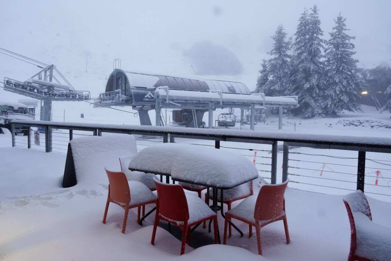
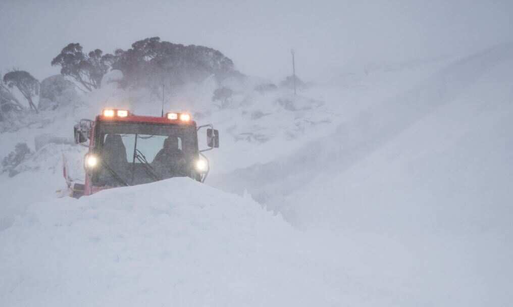
The sub-zero temperatures created optimal conditions to usher-in the snow season, and brought more than 35 centimetres of snow, and winds of 113 km/h at the Thredbo Resort in New South Wales.
News that makes sense
Your trusted source for staying up-to-date with the world around you. Get free daily news updates and analysis, straight to your inbox.
Last week, the Bureau of Meteorology warned of a series of cold fronts bringing snowfalls across Victoria and New South Wales.
Icy winds made it feel much colder than it actually was, according to Weatherzone.
“As winds strengthen even further overnight and into Monday, similar conditions can be expected during the start of the week,” Weatherzone meteorologist Jacobus Cronje said.
“A southerly change early in the day brings a risk of brisk, gusty showers and the odd thunderstorm.”
Early on Sunday morning, the south-western Sydney suburb of Camden was among the coldest in Australia with the temperature dropping to 0.6 degrees at around 6am.
The extreme cold weather is due to a cold front which has moved from the south of Tasmania – with showers, and brisk winds forecast, people are advised to rug up for the week ahead.
