


The predicted Cyclone Stan may emerge in the Gulf of Carpentaria this week from a monsoon trough that has developed across the Top End of the Northern Territory, reports the Bureau of Meteorology.
The bureau says that the chance of a tropical cyclone developing late Tuesday or early Wednesday is moderate to high, and it would move south-east before it makes a landfall and becomes a tropical low.
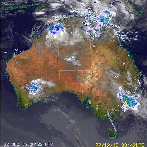
The bureau warns this could be accompanied by heavy rainfall in the Top End.
Queensland is also expected to experience heavy rainfall and thunderstorms.
Strong wind areas forecast for Northern Territory on Tuesday include North Tiwi Coast, Van Diemen Gulf, Arafura Coast, Gove Peninsula Coast and Roper Groote Coast.
Beagle Bonaparte Coast, North Tiwi Coast, Van Diemen Gulf, Arafura Coast, Gove Peninsula Coast, Roper Groote Coast and Darwin Harbour may encounter strong wind on Wednesday.
Strong wind areas forecast for Queensland on Tuesday and Wednesday include South East Gulf of Carpentaria and North East Gulf of Carpentaria.
