That's a wrap for today
We're ending our live coverage of Tropical Cyclone Narelle. Here's the latest as we close out the blog for the day.
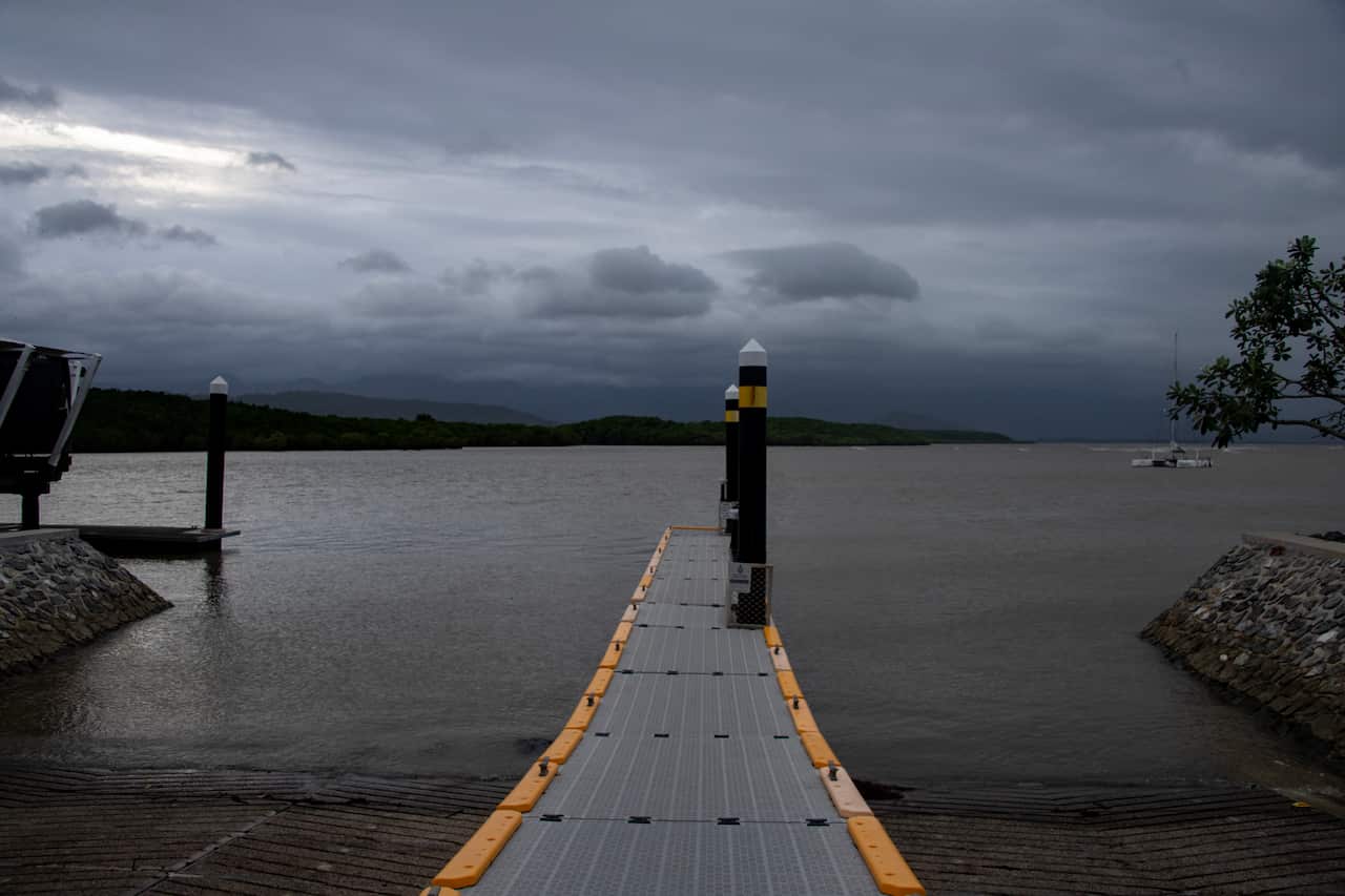
- Tropical Cyclone Narelle is continuing to track west across the Cape York Peninsula as a serious category 3 system after making landfall on the Queensland coast as a dangerous category 4 storm, producing wind gusts of more than 250 km/h.
- Queensland premier David Crisafulli said initial reports indicated there had been relatively minimal damage in Coen, after the storm passed between the town and Lockhart River
- The premier said the major challenge now is flooding amid significant rainfall in the Cape York region
- Queensland police said there had been no reports of fatalities or serious injuries
- Northern Territory communities are preparing as the storm may intensify over water before making landfall there on Saturday
- Flood watches have been issued across the Top End, with heavy rain expected and waterways expected to rise